(日本語の要約は最後にあります)
When people think of Kumamoto, they may first imagine a castle, a volcano, or perhaps the strong image of “the Land of Fire.” But Kumamoto is more than a place with famous sights. It is a prefecture whose character has been shaped by powerful natural forces over a very long time. Fire created its dramatic landscape, water supported life across the region, and history gave it a strong and lasting identity. To understand Kumamoto, it helps to begin with these three elements.
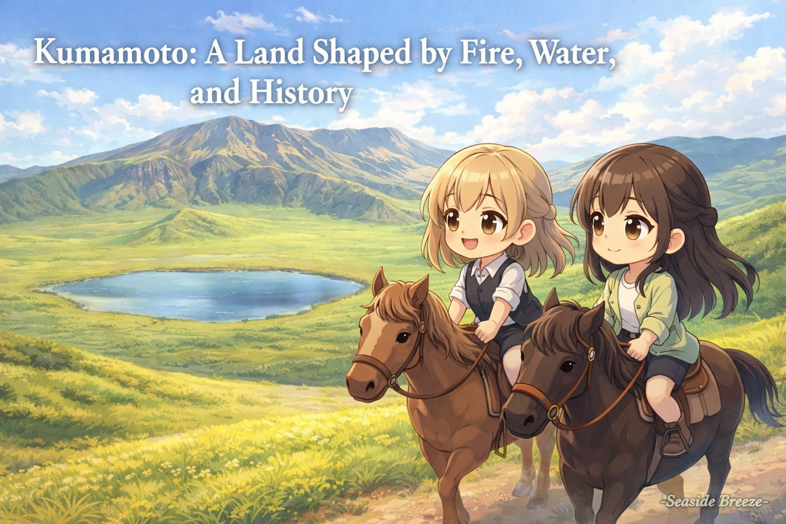
The most striking symbol of Kumamoto’s geography is Aso. At the center of the prefecture lies Mount Aso, surrounded by one of the largest calderas in the world. Official descriptions of the area place the caldera at roughly 18 kilometers from east to west and 25 kilometers from north to south. This vast space is not an empty crater in the usual sense. Towns, farms, roads, and everyday life exist within and around it, which makes Aso especially remarkable. It is not only a dramatic volcanic site, but also a place where people have continued to live with the volcano for centuries.
That relationship between nature and daily life is one of Kumamoto’s most important features. The volcano gave the land a powerful shape, but it also helped create rich soil and abundant water. Kumamoto is widely known for its groundwater, and Kumamoto City officially describes itself as a world-class groundwater city. In fact, all tap water in the city comes from groundwater, something very rare for a city of its size. This tells us something important about the region as a whole: water in Kumamoto is not just a background feature. It has long been part of the foundation of life, agriculture, and local identity.

History also runs deeply through this landscape. Kumamoto Castle remains the clearest symbol of that history. The castle seen today was originally completed in 1607 by Kato Kiyomasa, the first daimyo of Kumamoto Castle, and it later became one of the most important castles in Japan. Its scale and strong defensive design reflected both military power and political ambition. Even now, the castle does more than represent the past. It gives Kumamoto a visible historical center, linking the prefecture’s modern image with the age of feudal domains, castle towns, and regional rule.
Kato Kiyomasa himself is remembered not only as a castle builder, but also as a figure connected with flood control and land development. Official local guides describe how he carried out large-scale civil engineering works that made the area safer and more fertile. That detail matters because it connects Kumamoto’s natural environment to its political history. In other words, the land was not simply there to be admired. It had to be managed, protected, and developed. In Kumamoto, geography and history were never separate things. They shaped each other.
This is why Kumamoto leaves such a strong impression. It is a place where the land feels large and alive, where water is treated as a precious inheritance, and where history still stands in visible form. Before talking about its agriculture, local culture, or the character of its people, it makes sense to start here. Kumamoto is, first of all, a prefecture built on a powerful natural setting and a history that grew directly from it. That combination gives the region its depth.
(今回のお話を要約するとこのような内容になります)
熊本県を理解するうえで大切なのは、火、水、そして歴史である。阿蘇の巨大なカルデラは熊本の地形の象徴であり、その火山活動は豊かな土壌や水にもつながってきた。とくに熊本は地下水に恵まれた土地として知られ、その自然条件が暮らしや産業を支えている。さらに熊本城と加藤清正の存在は、この土地の歴史的な重みを今に伝えている。第1回では、熊本という県の骨格になる地理と歴史を描いた。

コメント